How to Identify Legal Fishing Zones Using Official Maps
Why Zoning Matters Before You Cast
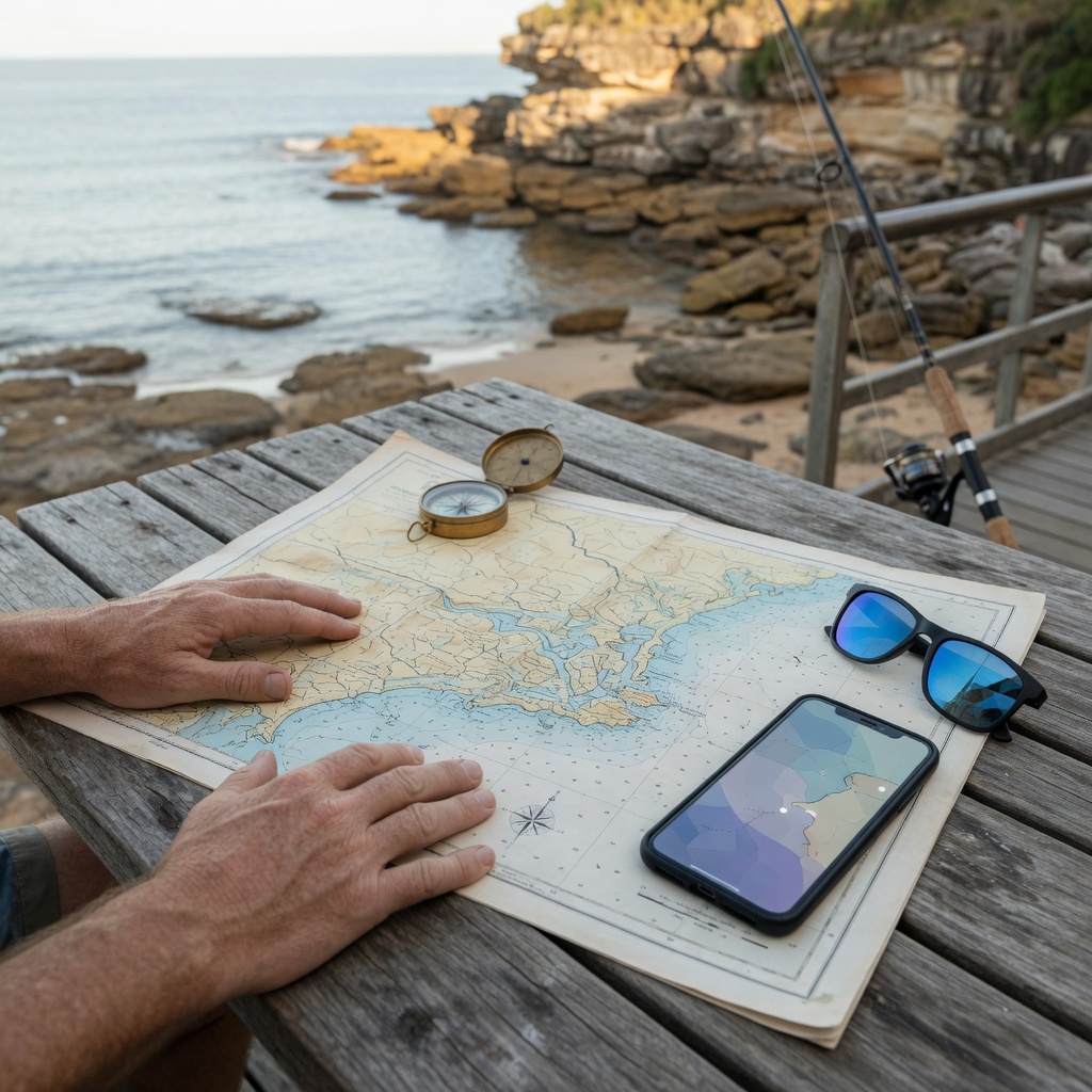
Around Sydney and along the wider New South Wales coast, two spots less than a hundred metres apart can carry completely different rules. One may be an open general use area where line fishing is permitted, the next may be a sanctuary zone where taking any marine life is prohibited. Bag limits and size limits still apply everywhere, but zoning decides whether you are allowed to fish at all. Learning to read official maps is therefore the single most useful skill a recreational angler can develop, and it takes far less time than most people expect.
Fishing Licence Australia exists to help you find and interpret those official sources rather than relying on second-hand advice from a tackle shop queue or a social media comment. Rules change, boundaries are amended, and temporary closures appear. The map you checked two seasons ago may no longer be current.
Which Official Maps You Should Be Using
There is no single national fishing map for Australia. Responsibility is split, so you generally need to consult more than one source for any given trip:
- State fisheries mapping tools - published by the relevant state or territory fisheries agency, these show fishing closures, recreational fishing havens and gear restrictions.
- Marine park zoning maps - issued by state marine park authorities and, in Commonwealth waters, by the national marine parks agency. These use colour-coded zones with distinct permitted activities.
- Aquatic reserve and intertidal protected area maps - often small, urban and easy to miss, particularly around harbour foreshores and rock platforms.
- Notices of temporary closure - published as fisheries notifications for events such as spawning closures or contamination advice.
Always download or bookmark the map from the agency's own site. Screenshots shared between anglers lose their legend, their publication date and often their scale.
Step by Step: Confirming a Spot Is Legal
- Fix your location precisely. Note the nearest named headland, wharf, boat ramp or creek mouth, and if you can, record GPS coordinates. Zone boundaries are frequently defined by straight lines between two coordinates, not by the shoreline.
- Check the marine park layer first. If your spot sits inside a marine park, identify the zone name in the legend and read the permitted activities for that zone, not for the park as a whole.
- Check for aquatic reserves and closures. These can sit inside or outside marine parks and may ban all fishing, or only the collection of invertebrates and bait.
- Check gear and method restrictions. Some zones allow line fishing but prohibit spearfishing, traps, nets or the taking of shellfish.
- Check species rules. Confirm bag limits, legal size limits, protected species and any seasonal closure that applies to your target fish.
- Screenshot your evidence. Save the map view and the date you checked it, so you can demonstrate that you took reasonable care.
Reading the Legend Without Guessing
Colour coding is consistent within a jurisdiction but not always between them, so never assume that green means the same thing in two different states. Look for these common concepts: general use or habitat protection zones, which usually permit recreational line fishing; sanctuary or national park zones, where taking marine life is prohibited; and special purpose zones, which allow specific activities listed individually. Where a map shows a hatched or dotted overlay, that almost always signals an additional rule layered on top of the base zone, such as a seasonal restriction or a no-anchoring area.
Pay attention to the vertical dimension too. Some zones apply to the seabed and the water column differently, meaning trolling above a protected reef may be treated differently from bottom fishing on it.
Shore, Boat and Freshwater Differences
Shore-based anglers in Sydney need to watch intertidal protected areas, where removing cunjevoi, crabs, snails and other shellfish is commonly banned even where line fishing is fine. Boat anglers should pre-load zone boundaries into a plotter and remember that drifting across a boundary while a line is in the water can be an offence. Freshwater anglers face a different set of maps again, covering trout streams, closed seasons, and impoundments with their own permit requirements.
For a deeper look at how zones are designed and what each classification is intended to protect, see our guide to marine parks, fishing zones and protected areas.
Common Mistakes to Avoid
- Relying on the absence of a sign. Many boundaries are unmarked on the water.
- Assuming catch and release is exempt. In sanctuary zones, the act of taking or attempting to take is usually what is restricted.
- Using an old printed brochure after boundaries have been amended.
- Forgetting that possessing prohibited species or undersized fish on board is an offence, regardless of where they were caught.
- Overlooking bait collection rules, which are among the most frequently breached.
Build a Pre-Trip Habit
The most reliable anglers treat map checking like checking the weather: a short routine done every trip, not once a year. Before you leave, confirm your licence status, review the zone map for your destination and a backup location, note the current bag and size limits for your target species, and check for any newly published closure notice. Five minutes of preparation protects your gear, your catch and your record.
If you are unsure how a boundary applies to a particular ramp, platform or estuary arm, contact the relevant state fisheries agency directly for a written answer. For general questions about using this guide, reach Fishing Licence Australia on +61250701250 or [email protected] during Mon–Fri: 09:00 – 17:00 (AEST). We provide educational information only and always point you back to the official source, because that source is what applies on the water.
Navigation
See also
FAQ